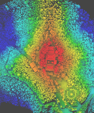
Forestry Applications
LiDAR, as a high-accuracy detection instrument, can easily acquire measurements needed to produce three-dimensional point cloud models of forests with centimeter-level accuracy. With the recent advancement of LiDAR technologies, collecting forest inventory data has become easier than ever. GVI’s turnkey Applications for forest industries include hardware and software products that make LiDAR data collection, processing, and analysis possible and easy.
Unique Applications
_edited.png)
Multiple
Applications
_edited.png)
Most Efficient Software

Turnkey Solution
_edited.png)
Cost-effective Products
Business Flowchart
.png)
Why do you need
our Applications for Forestry

LiDAR360 MLS has nearly 100 point cloud processing and editing tools. It supports point cloud and camera images of mainstream mobile mapping systems on the market for processing and mapping. Combination display of multiple attributes, with additional attributes, to meet more application requirements.

In LiDAR360, we support a variety of terrain scene calculation models, and automatically adjusts parameters according to the models to ensure that the ground point classification can obtain ideal results.

Through this function, each tree can be separated from the forest point cloud and the property table can be formed. LIDAR360 built-in world-leading algorithm, help you to improve the accuracy of Tree segmentation effectively.

With LiDAR360, we can extract the location, height, DBH, crown diameter, north-south crown diameter, east-west crown diameter, crown area, crown volume, height under branches, trunk volume and other attributes of each tree in the forest. At the same time, we can obtain the elevation, slope, slope direction and other attributes of a single tree through Software.
Applications


_edited.png)
.png)
.png)
.png)